
Miami Beach ZIP Directory Coverage
Four core ZIP areas organize Miami Beach postal geography. Three roughly follow the city’s south, middle, and north sections. Fisher Island is the outlier. All neighborhood and cut-line descriptions remain approximate until the exact address is checked in USPS Lookup and the city ZIP boundary layer.
| ZIP | Areas generally covered | Postal context | Research note |
|---|---|---|---|
| 33109 | Fisher Island and nearby island delivery geography | Exceptional island ZIP | Confirm access and municipality by parcel |
| 33139 | South Beach, South of Fifth, Flamingo/Lummus | Miami Beach/South Beach service | Dense condos, hotels, historic fabric |
| 33140 | Mid Beach, Bayshore, Oceanfront, Nautilus portions | Miami Beach station coverage | Verify border addresses with USPS |
| 33141 | North Beach, North Shore, Normandy Isles, Biscayne Point | Miami Beach/North Shore service | Postal name may not prove city jurisdiction |
Official USPS facility names and exact street cut lines were not available in a crawlable official table. The Miami Beach ZIP code directory therefore does not turn “generally” into a delivery guarantee.
Verify Miami Beach ZIP Codes
The USPS ZIP Code Lookup is the first stop for postal city and deliverability. Enter the complete street address, including unit. A result answers a postal question. It does not establish municipal jurisdiction, parcel ownership, or who lives there.
Open the official USPS address lookup to check the current postal assignment.
The postal result should be carried to city GIS and the Property Appraiser rather than treated as a household answer.
| USPS input | Use |
|---|---|
| Street address | Use the full number and street name |
| Apartment or suite | Preserve condo unit formatting |
| City and state | Test the postal city returned by USPS |
| ZIP when known | Verify rather than force a result |
Map Miami Beach ZIP Boundaries
The Miami Beach GIS ZIP layer places postal zones beside the city’s Municipal Boundary. It belongs to a larger cadastral service with parcels, address labels, situs points, neighborhoods, sub-neighborhoods, and historic districts. Cadastral means land-parcel mapping.
Inspect the official ZIP boundary layer for the mapped geography.
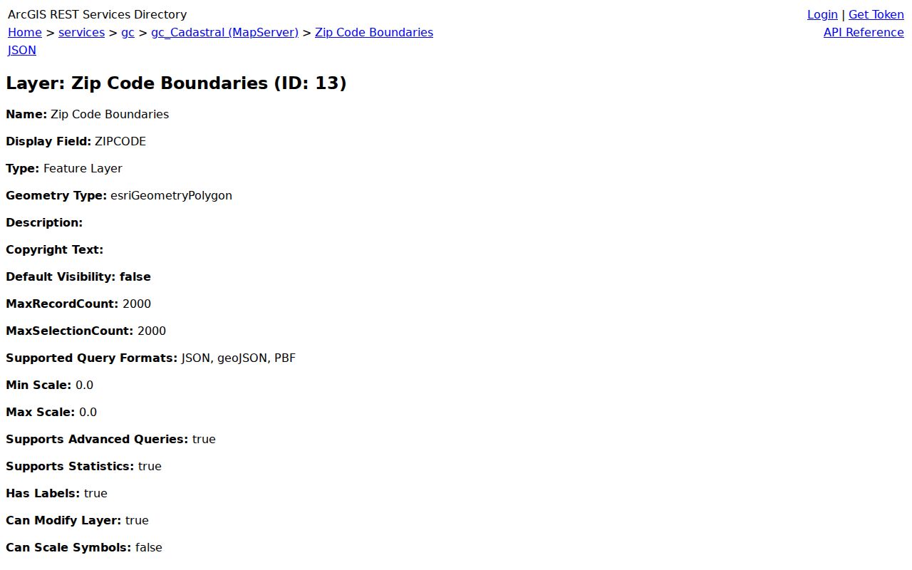
The layer reveals boundary context, but it does not name owners. Transfer a selected folio to the Property Appraiser for the current ownership record.
Note: A Miami Beach postal line is not conclusive evidence that a parcel lies inside Miami Beach city limits.
Find Miami Beach Residents by ZIP
No local portal reviewed offers a true browseable ZIP resident list. The Property Appraiser’s basic tabs are Address, Owner Name, and Folio, not ZIP. The state voter-status portal is a personal verification tool, not a ZIP browser. GIS supplies the geographic slice, and formal data requests may supply a defined nonexempt roll.
- Verify the complete address and ZIP with USPS.
- Overlay ZIP and Municipal Boundary in Miami Beach GIS.
- Select parcels or use address context within that zone.
- Carry each exact folio to the Property Appraiser.
- Compare situs, owner mailing address, and municipality.
- Request a defined voter extract only through Miami-Dade Elections.
A voter request should state the snapshot date, Miami Beach geography, wanted fields, and machine-readable format. Exempt addresses remain protected. Once a ZIP has narrowed the area, the Miami Beach street directory provides the distinct street-level workflow.
Miami Beach ZIP and City Limits
ZIP codes route mail. City limits determine municipal jurisdiction. Parcel boundaries identify land for ownership and taxation. These systems can overlap without matching. Causeways connect Miami Beach to mainland grids, but they do not merge city boundaries. The tax mailing address can also be anywhere, even when the situs parcel is in Miami Beach.
- ZIP Code
- A USPS delivery geography, not a legal municipal boundary.
- ZIP+4
- An added four digits that narrow delivery to a route segment or group.
- Unique ZIP
- A ZIP assigned to an institution or special delivery geography.
- PO-box ZIP
- A code used mainly or solely for post-office boxes.
- Carrier route
- The set of addresses served by one postal delivery path.
33109: Miami Beach Island Outlier
ZIP 33109 covers Fisher Island and nearby unique island delivery geography. Its small scale, access pattern, and parcel mix differ from the three larger Miami Beach zones. A postal match alone should never settle whether a site lies within a particular municipal or service boundary.
Start with USPS, open the GIS municipal and ZIP layers, then inspect parcels. Corporate or trust ownership and an off-island mailing address can appear on parcel records. That is ownership evidence, not a list of people present at the address. Fisher Island illustrates why ZIP code directory results need parcel confirmation.
33139 South Beach Record Mix
ZIP 33139 generally covers South Beach, including South of Fifth and Flamingo/Lummus. The area’s high condo and hotel density can place many unit folios behind one street address. Historic fabric and the Art Deco Historic District add older permits, photographs, directories, and preservation records to the search mix.
Enter the unit exactly. If a map lands on a condo complex, drill down to individual parcels before carrying a folio into county records. Do not treat a hotel, business, association, or registered-agent address as a resident’s home. The ZIP narrows geography, while the unit folio supplies the usable land key.
33140 Mid Beach Geography
ZIP 33140 generally extends through Mid Beach, from around 23rd Street toward the 60s, including parts of Bayshore, Oceanfront, and Nautilus. The wording is intentionally approximate. USPS must verify a border address, and GIS must test the city line and neighborhood layer.
Large oceanfront properties, postwar structures, and condo parcels make mailing and situs fields especially important. Situs is the physical property location; mailing is where the owner receives notices. A mismatch can show an out-of-area owner, but it does not identify an occupant. Use the ZIP code directory to group places, not people.
Read Miami Beach ZIP Parcel Results
After the ZIP layer defines an area, the Property Appraiser supplies the record attached to each selected folio. A parcel card can show situs address, owner mailing address, owner name, legal description, municipality, property use, building details, values, exemptions, sales, sketches, aerials, and recorded instrument references. The county owner, address, and folio tabs do not provide a verified ZIP-wide resident search.
Condominiums require care. Double-clicking a complex may expose the individual unit parcels and owners. Copy each candidate folio, unit form, and legal description before leaving the result. A partial match can be printed or copied to a spreadsheet, but it still represents parcels and titleholders, not all people in the building.
Homestead status and a matching mailing address can support owner occupancy, yet neither proves uninterrupted residence. A different mailing address is evidence that tax mail goes elsewhere, not proof that someone else lives at the Miami Beach situs. For a dated ownership check, carry the instrument reference to Miami-Dade Official Records. That index covers most recorded documents from 1974 onward, with older documents available through the Records Library.
33141 North Beach Geography
ZIP 33141 generally covers North Beach, North Shore, Normandy Isles, and Biscayne Point areas. Named roads, island subdivisions, and distinct plats can resist simple street-grid assumptions. Copy the exact folio and legal description rather than trying to infer parcel identity from the ZIP.
Neighborhood and sub-neighborhood layers provide context. Property ownership comes from the Miami-Dade Property Appraiser, while permits and code cases come from Miami Beach Civic Access. A postal naming convention may be useful for mail yet still fail to communicate the responsible city agency.
Request Miami Beach ZIP Records
When a portal cannot produce a ZIP-shaped dataset, request an identifiable existing record. Under Florida Chapter 119, specify the geography, date, fields, format, and custodian. Ask for electronic delivery when the file already exists electronically and for an estimate before extensive-use costs arise.
Miami-Dade Elections is the route for voter data products and archived voter-related records. The Property Appraiser holds ownership rolls. Miami Beach holds permits, code cases, business tax receipts, and municipal GIS. Each custodian may redact protected data rather than withhold the rest.
Document a “no record” result. Confirm the ZIP spelling, municipal boundary, snapshot date, former system, retention rule, and whether another office owns the series.
Miami Beach ZIP Access Channels
Each step has an offline fallback. USPS Lookup handles postal verification, while a post office can clarify a delivery question that the web form does not resolve. Miami Beach’s cadastral service exposes the ZIP and Municipal Boundary layers online; a defined GIS extract or underlying public data can be requested from the city when the map interface is not enough.
The Property Appraiser offers owner, address, and folio search plus mapped parcel context. For a larger defined roll, ask that office whether an existing electronic extract can be produced under Chapter 119. Give the ZIP geometry or parcel list, tax year, requested fields, and output format. Do not ask the custodian to decide who lives in the zone, because its roll identifies titleholders and tax-mail destinations.
Miami-Dade Elections supplies voter data products, maps, and archived voter records. The personal state status check is not a replacement for a scoped request. State the snapshot date, ZIP or precinct geography, and desired nonexempt fields. Address Confidentiality Program participants and people covered by statutory exemptions will not appear like ordinary records.
For older geography, the MDPLS genealogy desk and State Archives catalog can add directories, maps, election material, and historic county records. Search “Dade County” as well as “Miami-Dade.” Postal zones can change while legal descriptions and folios persist, so an old directory address should be joined to current geography through a parcel or subdivision, not forced into today’s ZIP.